-

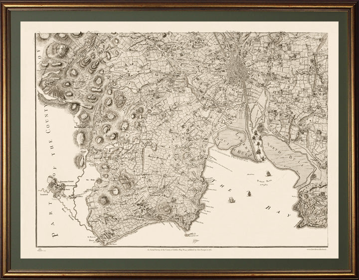
This Map No.4 in an aged gold gilt frame covers the Southeast quadrant of the County to the boarder with Wicklow including the City of Dublin, Dublin Bay, North Bull, South Bull, "Dun Lary", and Dalkey to Bray, Dublin Mountains, and indeed the fabulous Powersourt House and Gardens which was deemed worthy of inclusion.
-

This Map No.3 covers the Northeast quadrant of the County including Baldoyle, Coolock, Malahide, Swords, Donabate, Portrane, Rush, Skerries Balbriggan, Lambay and Irelands Eye.
-

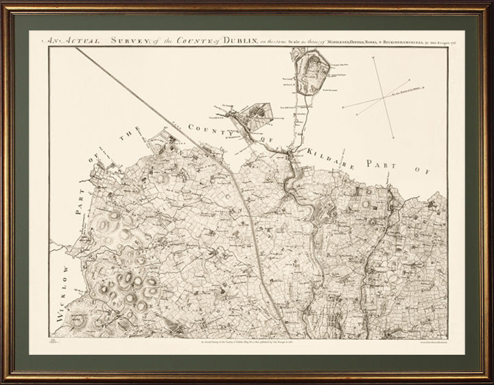
Gold Leaf Frame with Palm Green Mountboard - This Map No.1 covers the Northwest of the County to the borders of Wicklow and Kildare and includes "Upper Cross", Newcastle, Saggart, Celbridge and Castleknock.
-

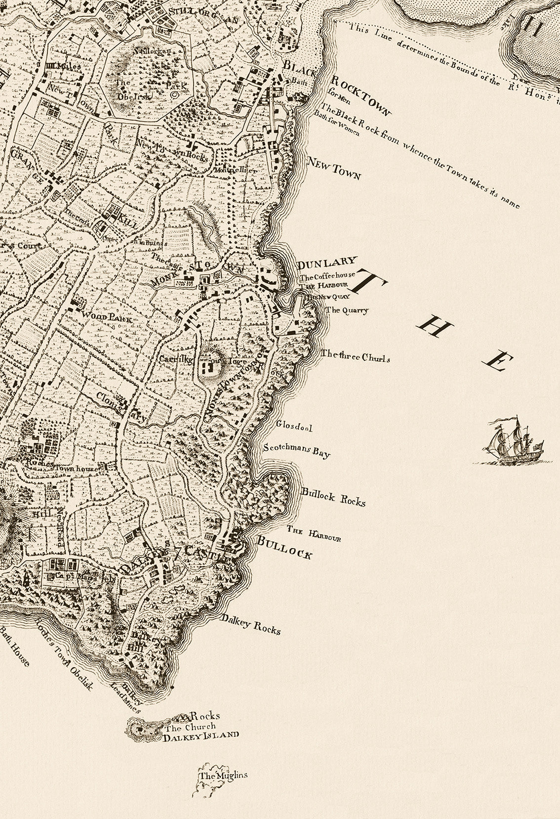
Detail from Map showing entrance to Dublin port , North and South Bull and the original 'Piles'
-

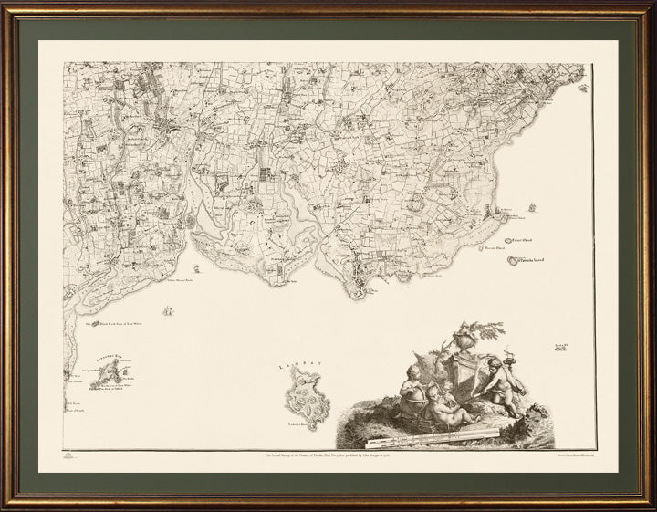
Detail of the South Dublin coastline in 1760
-

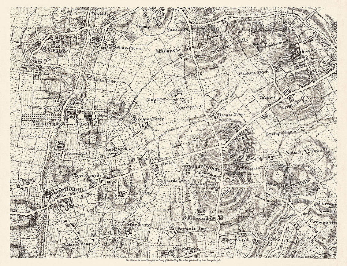
John Rocques Map 1760- An Actual Survey of the County of Dublin No.2 .This map covers the North Western quadrant of the county including the townlands of Palmerstown, The Ward, Newtown, Oldtown, Ballyboughal, Holywood , Naul, Garristown, and Balscadan
-

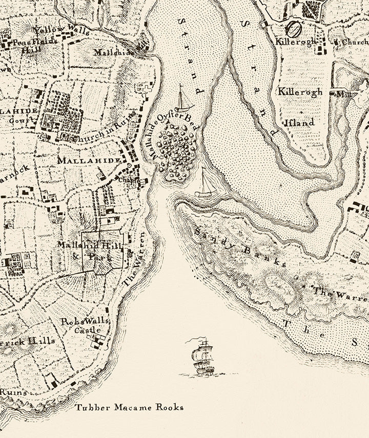
Detail from Map showing Malahide , the Estuary and 'Oyster Beds'
-

John Rocque's Complete set of 4 maps of Dublin County first published in 1760
-

John Rocque's Complete set of 4 maps of Dublin County first published in 1760
-

Ballygoughal, Hollywood, Naul , Murrough customisation example...