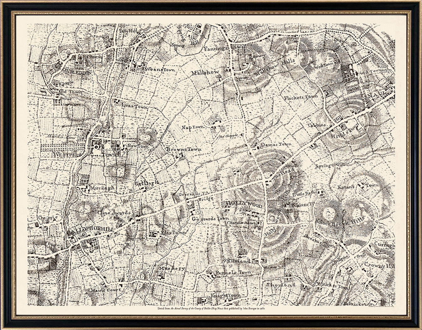
John Rocques Map 1760- An Actual Survey of the County of Dublin No.2 .This map covers the North Western quadrant of the county including the townlands of Palmerstown, The Ward, Newtown, Oldtown, Ballyboughal, Holywood , Naul, Garristown, and Balscadan
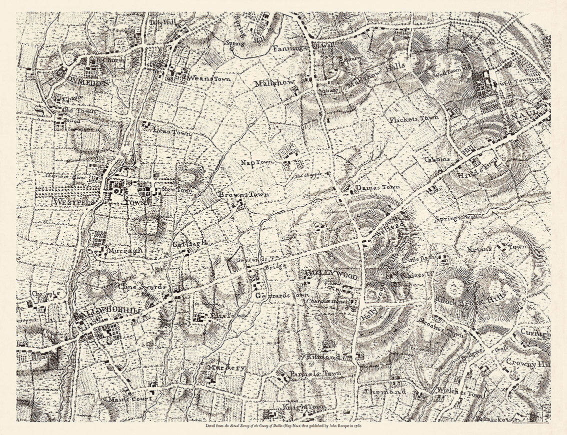
Framed half-size customisation of Ballyboughal to Naul in Hogarth style frame from €250
John Rocques Map 1760- An Actual Survey of the County of Dublin No.2 .This map covers the North Western quadrant of the county including the townlands of Palmerstown, The Ward, Newtown, Oldtown, Ballyboughal, Holywood , Naul, Garristown, and Balscadan
Beautiful reproduction of Rocque's detailed and rare An Actual Survey of County Dublin on the same scale as those of Middlesex, Oxford, Barks and Buckinghamshire first published in 1760. Rocque (c.1704 -1762) was from a French Huguenot family that fled persecution to Geneva and later to England sometime after 1709. His 24 sheet map of London in published in 1746 established is fame and reputation as a the leading cartographer of the day. He spent 6 years in Ireland where he produced several remarkable maps of Dublin, Armagh County, Kilkenny, Thurles and Cork, before returning to London in 1760. His Dublin surveys built and improved on the previous Dublin maps of Speed (1611) , Brooking (1728) and Price (1730): . It was said that his maps deferred to the estate-map tradition by being minute enough for landowners to colour their own properties. Rocque's work, along with that of Bernard Scalé, almost single handedly elevated the concept of Estate Mapping from the agents office into the drawing rooms and libraries of the gentry where the maps took their place among the furniture and other works of art as an fine example of Georgian craftsmanship and taste. This map covers the North Western quadrant of the county including the townlands of Palmerstown, The Ward, Newtown, Oldtown, Ballyboughal, Holywood , Naul, Garristown, and Balscadan.
Customisation close-ups of areas within this map are available in smaller frames from €250 similar to example shown below. For customisations of your townland or parish from this map phone +353 (0)86 2608225 or email info@thewaltoncollection.ie