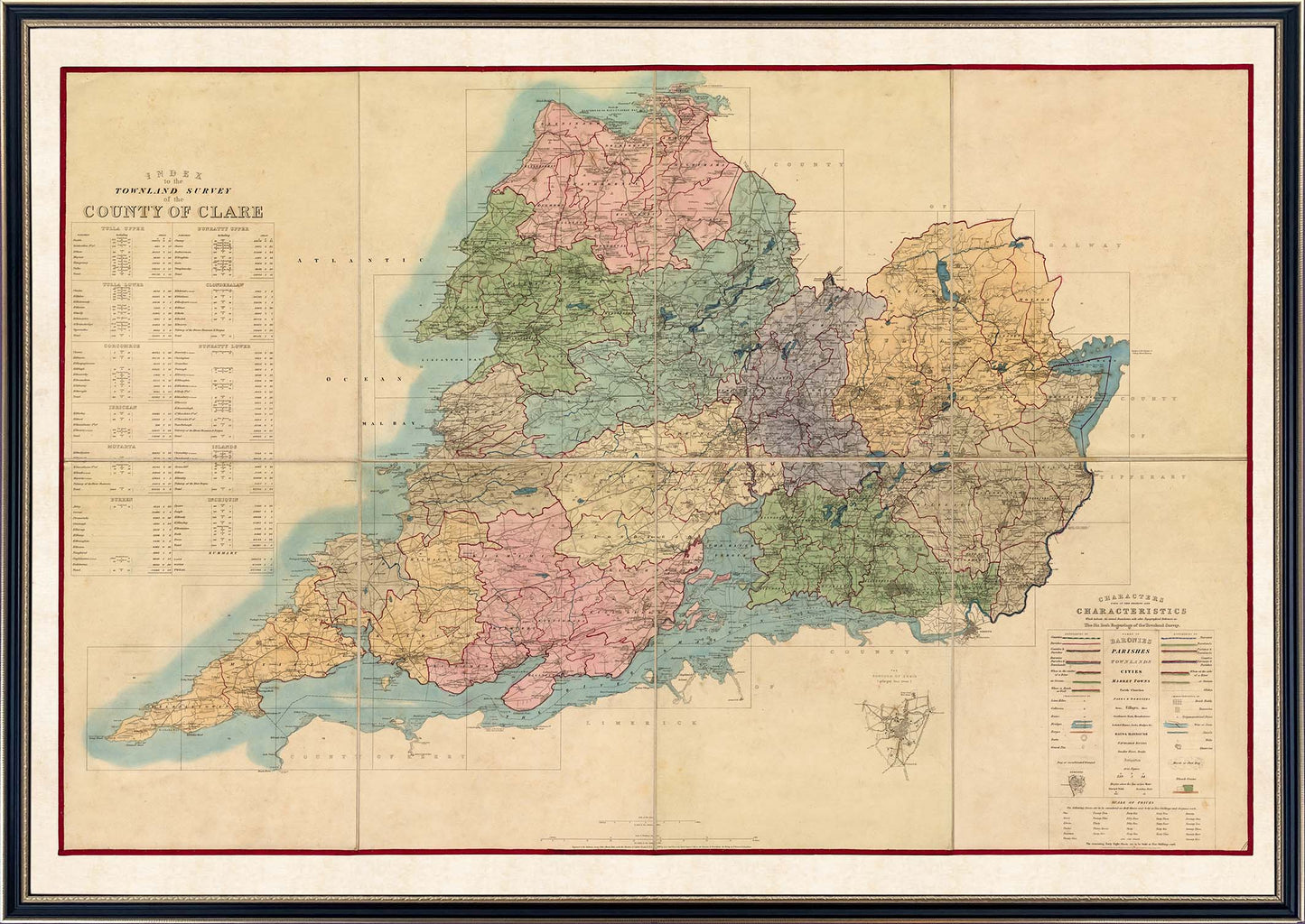
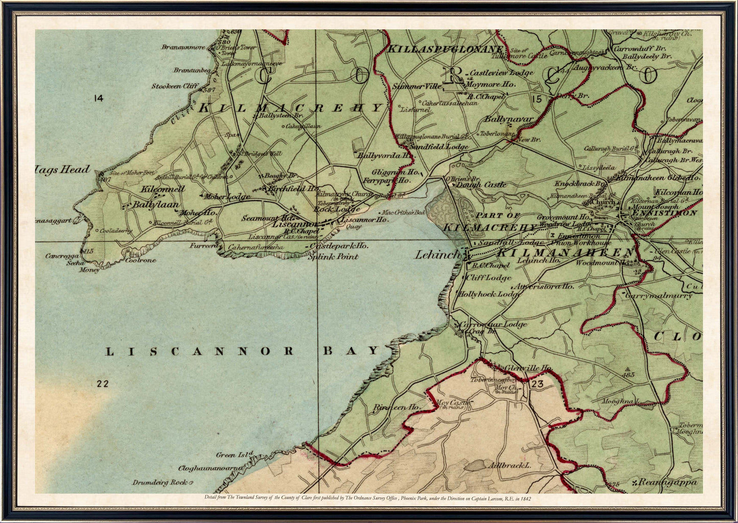
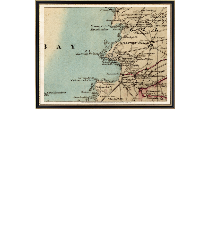
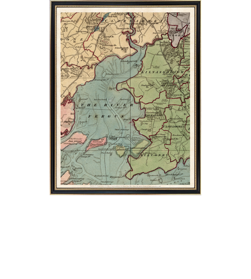
County Clare - Townland Survey of the County of Clare (1842) - A stunning Ordnance Survey Map of County Clare first published in 1842, on a globally unprecedented scale of six inches to one mile, stretches along the coast from Black Head to Loop Head, and up the Shannon Estuary to Limerick and from up to Lough Derg and beyond up to the border with Galway. Incorporating remarkable detail from within all of the parishes of Tulla Upper, Tulla Lower, Corcomroe, Ibrickan, Moyarta, The Burren, Bunratty Upper, Bunratty Lower, Clonderlaw, The Islands, and Inchiquin, with " The Borough of Ennis (Enlarged 4 times)".
This map is made up of 75 grid boxes which are indexed in a table on the map , any one or more of which can reproduced in their original full size or can be customised into an smaller framed extract from the map as a special order in consultation with our customisation team. This map is an absolute must have or gift for anyone from Clare or with an interest in Clare's history.
Beautifully reproduced on high quality art paper in its original size and mounted in a 790mm x1100mm Hogarth 18th Century style frame behind plexiglass (or glass if requested following placement of order).
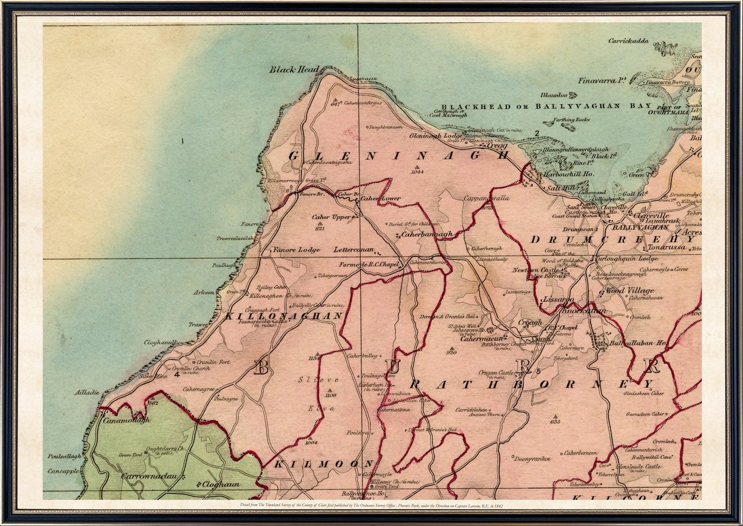
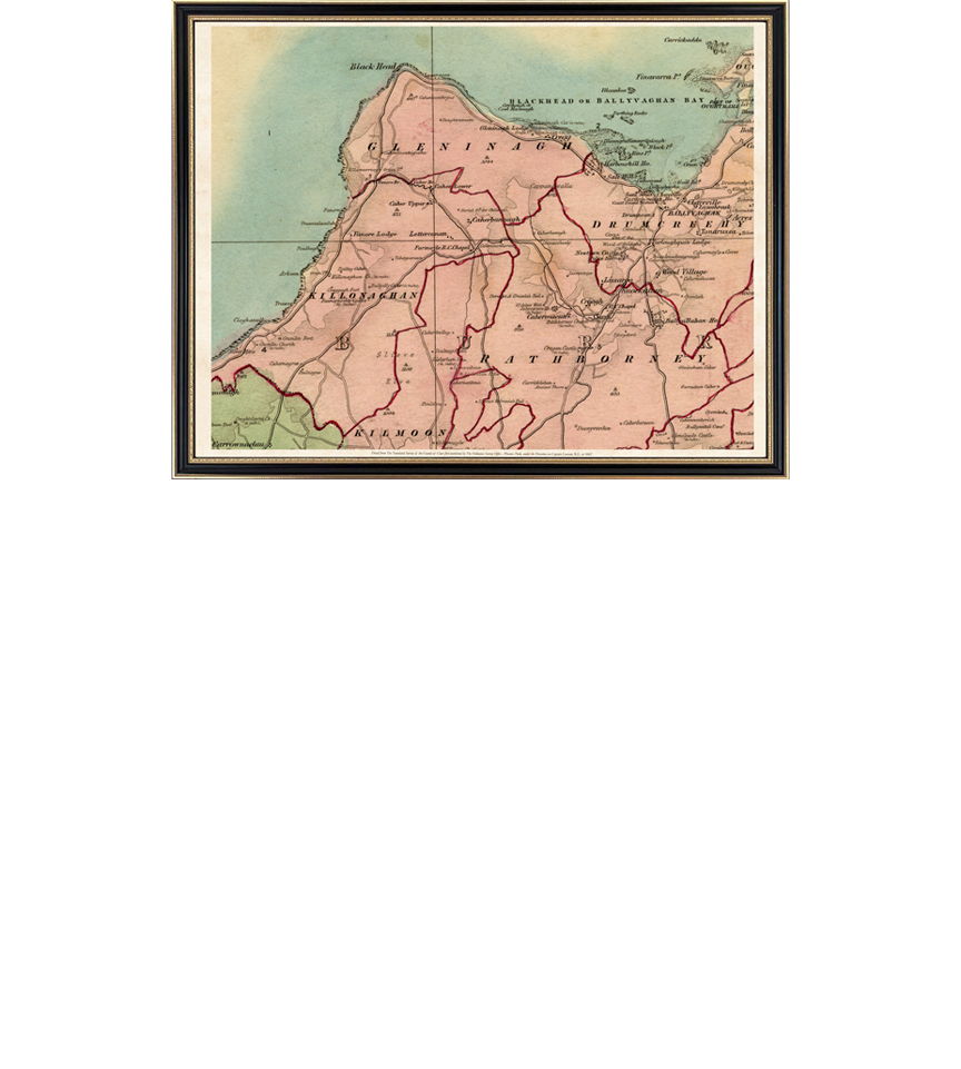
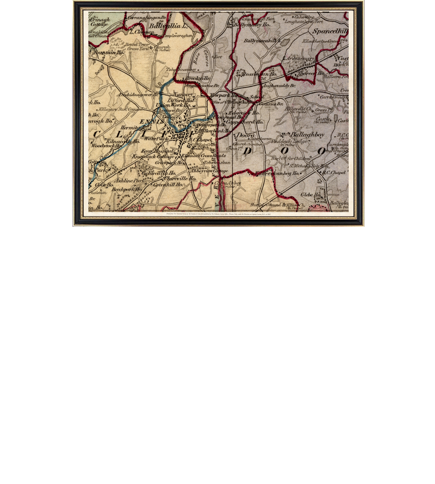
Smaller areas or specific localities of this map may also be blown up to the same size frame or customised to fit into a smaller size frame on request. Some samples and smaller frame size and costs are shown for most counties. You can discuss your customised request from this map this with us by emailing info@thewaltoncollection.ie or calling +353 86 2608225 during working hours (Irish Time/GMT).